Improve your irrigation management
Explore all the wells in North America in sub-second speed to make better investment choices and production decisions.
FEATURES
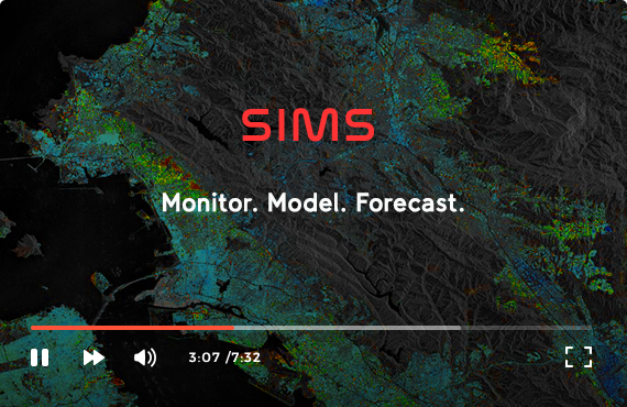
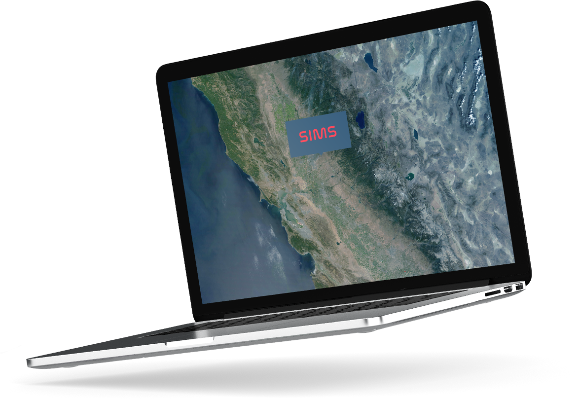
Satellite Irrigation Management Support [SIMS]
NASA and USGS satellites were used to map crop development and crop water demand throughout California's Central Valley, Central Coast, and North Coast at a spatial resolution of 0.25 acres from 2010 to present. Through this prototype interface, users may view maps and inspect/download time-series trends of selected data layers at user-specified locations.
LEARN MORE
Improve your irrigation management
Explore all the wells in North America in sub-second speed to make better investment choices and production decisions.
FEATURES
These datasets were developed by the Ecological Forecasting Lab at NASA Ames Research Center in collaboration with the California Department of Water Resources.

The primary objective of the TOPS-SIMS project is to develop new satellite-derived datasets and tools designed to support agricultural producers and water managers.
The primary objective of the TOPS-SIMS project is to develop new satellite-derived datasets and tools designed to support agricultural producers and water managers in optimizing management of irrigation and agricultural water supplies.

These datasets are distributed for research, demonstration, and evaluation purposes only. The datasets are currently under review and should be considered provisional at this time.
About SIMS | Policies & Links | Our Performance | Digital Strategy
Designed By